Log in
All resources
Create a design
52,119 Free Images of Old Celestial Maps
old maps of new york (state)
united states geological survey maps
topographic maps of new york (state)
maps of the adirondack mountains
maps in the library of congress
atlas de wit 1698
frederick de wit
old maps of massachusetts
atlas van loon
ohio
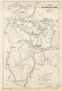
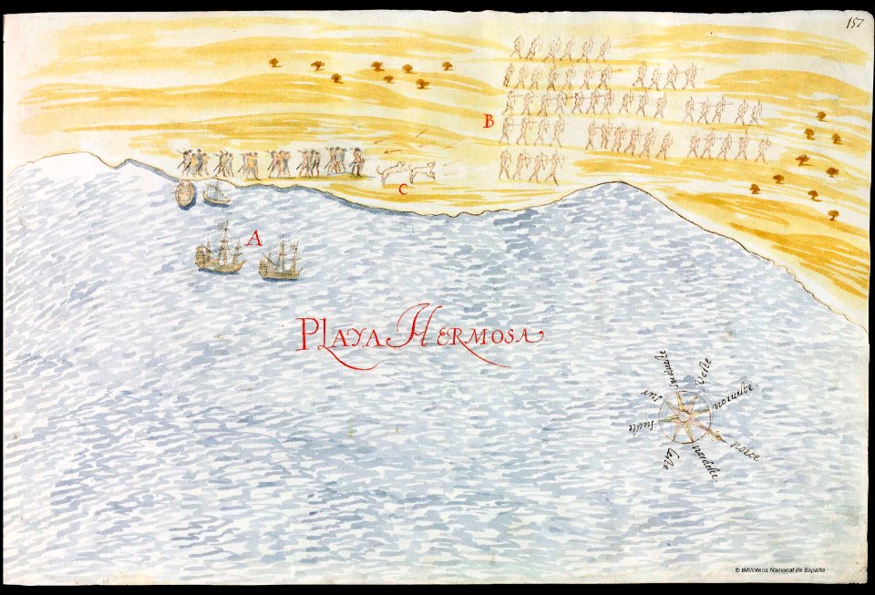
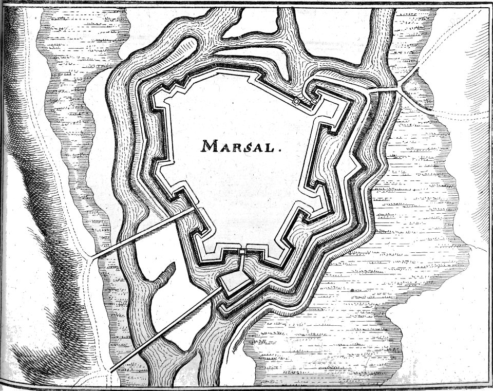
fonds ancely - bibliothèque municipale de toulouse - maps
pierre gorse
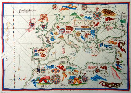
old maps of europe
diogo homem
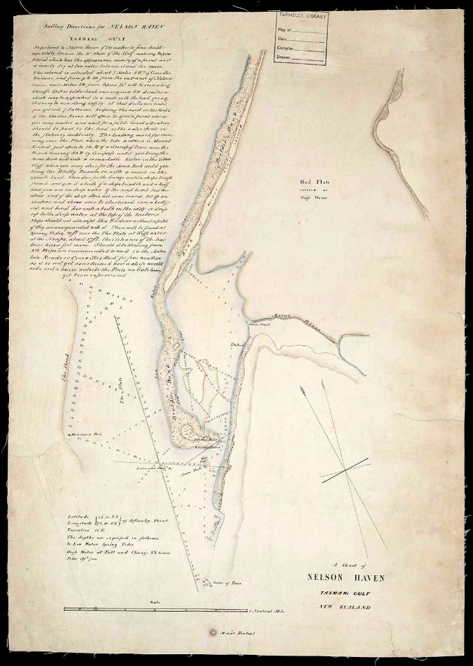
artwork by charles heaphy
old maps of new zealand
drawings in the universitätsbibliothek salzburg
historical images of dieppe
maps in the library of congress
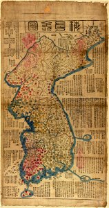
old maps of korea
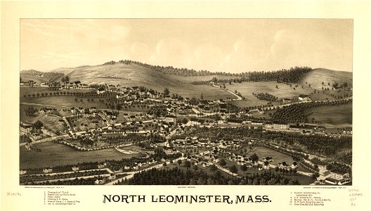
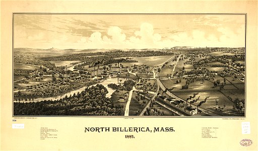
massachusetts
glendale,
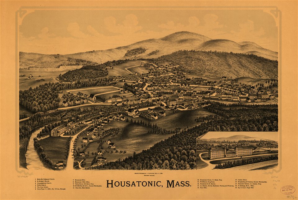
old maps of massachusetts
massachusetts
massachusetts
housatonic
maps by willem and johannes blaeu
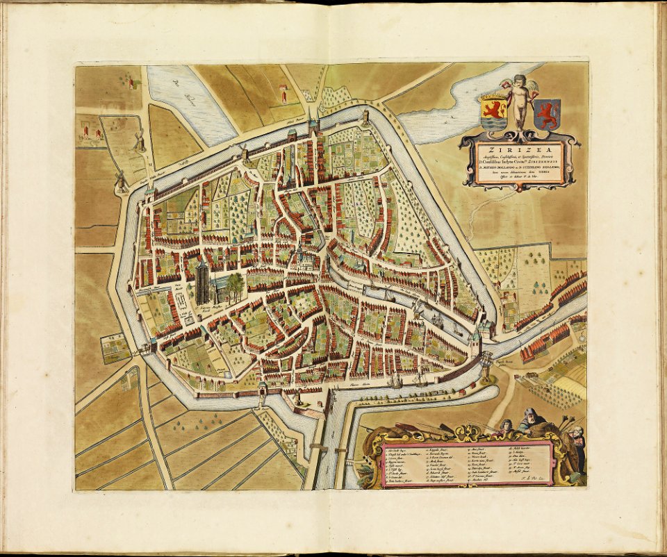
old maps of rotterdam
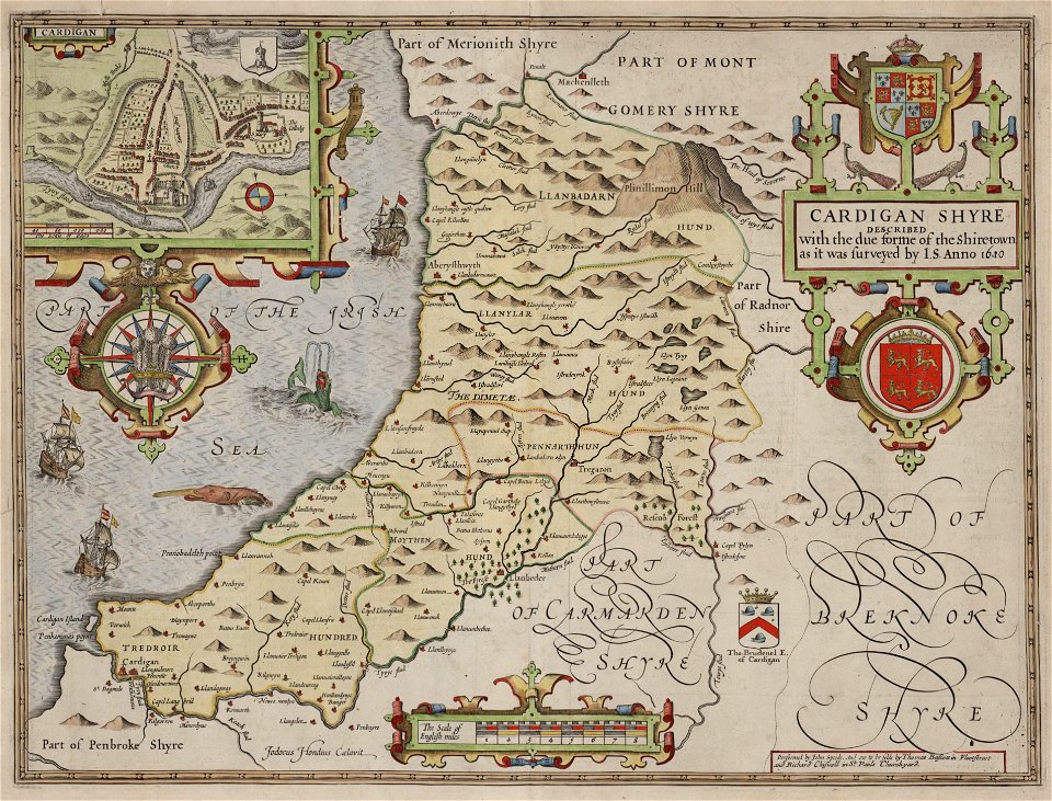
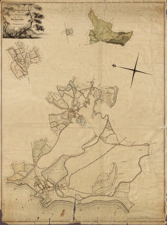
maps in the national library of wales
old county maps of cardiganshire
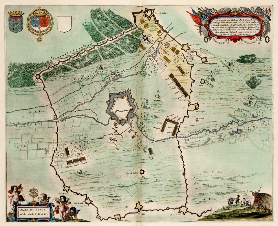
maps of hesdin city walls
circumvallation
party per bend or and azure
coats of arms on maps
maps in the library of congress
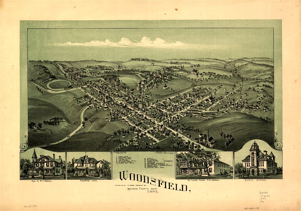
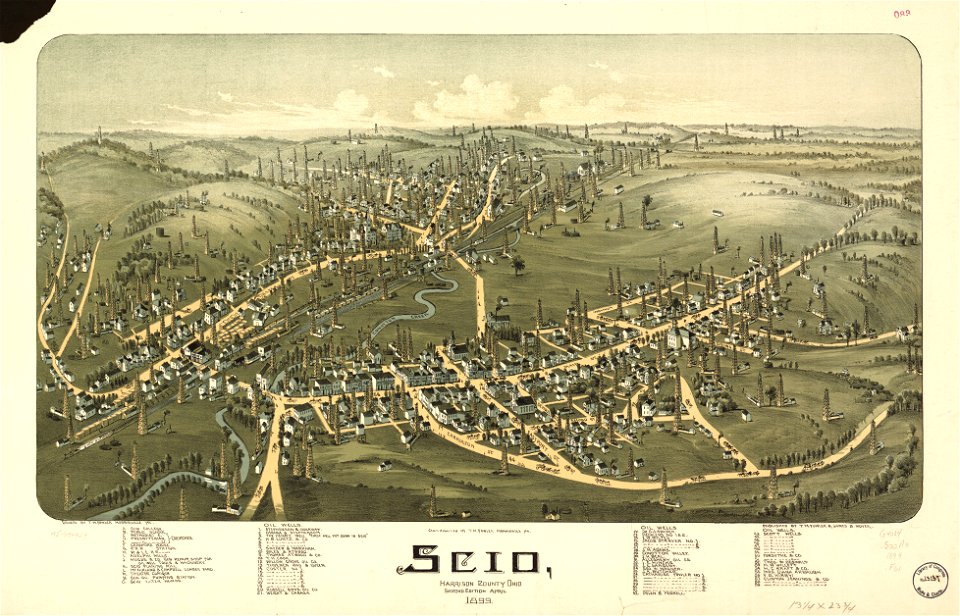
ohio
maps in the library of congress
ohio
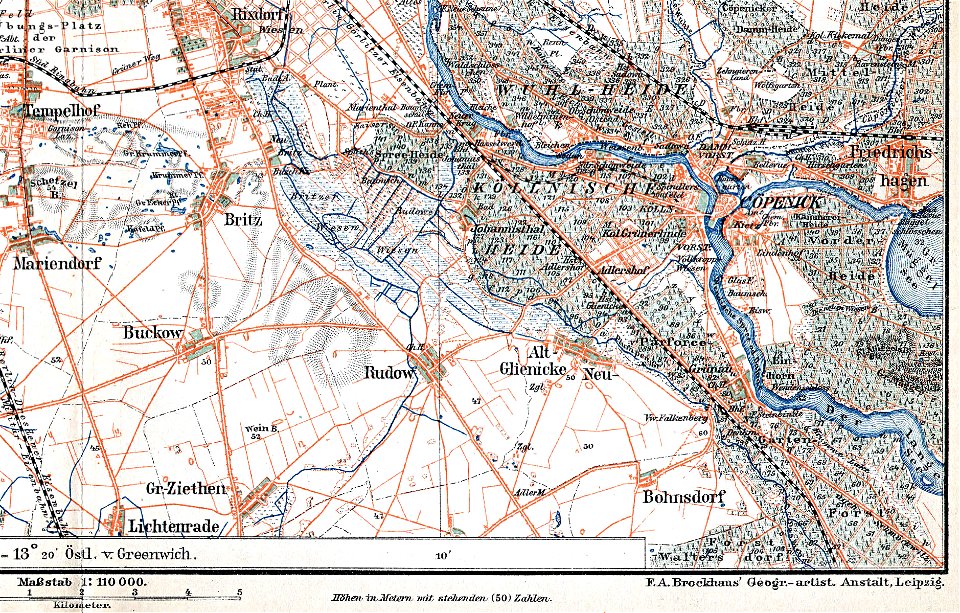
parts of old maps of berlin
maps by brockhaus
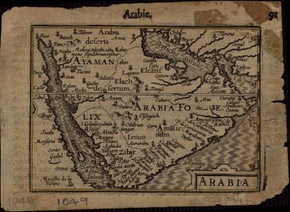
old maps of the persian gulf
1616 maps
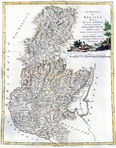
maps by antonio zatta
old maps of lombardy
maps in the library of congress
ohio
maps in the library of congress
ohio
maps in the library of congress
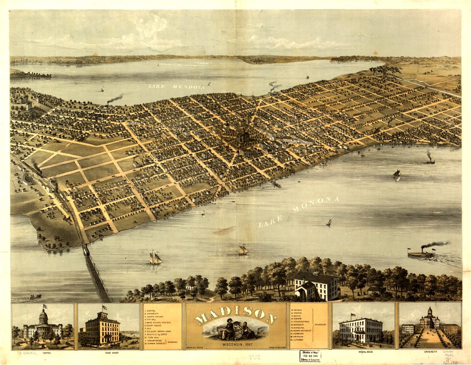
wisconsin
old maps of mexico
pictorial maps
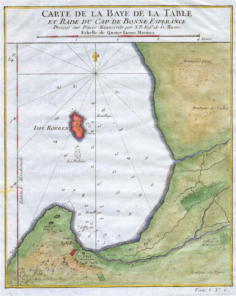
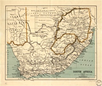
old maps of south africa
table bay
david rumsey historical map collection
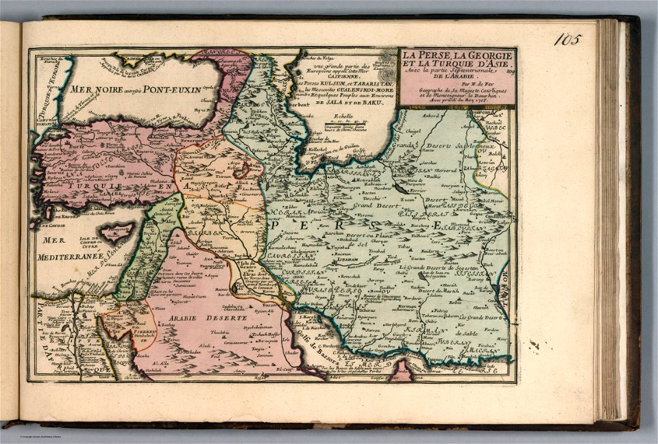
old maps of the caucasus
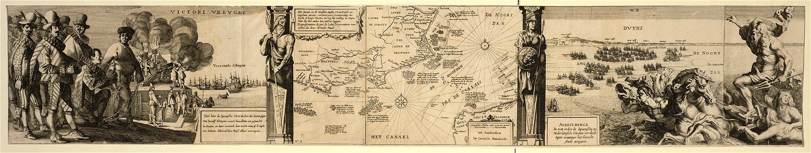
cornelis danckerts (i)
battle of the downs
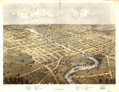
wisconsin
watertown
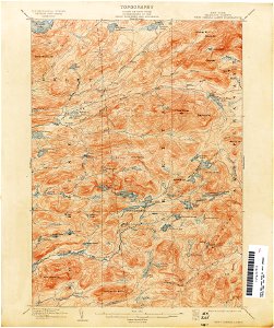
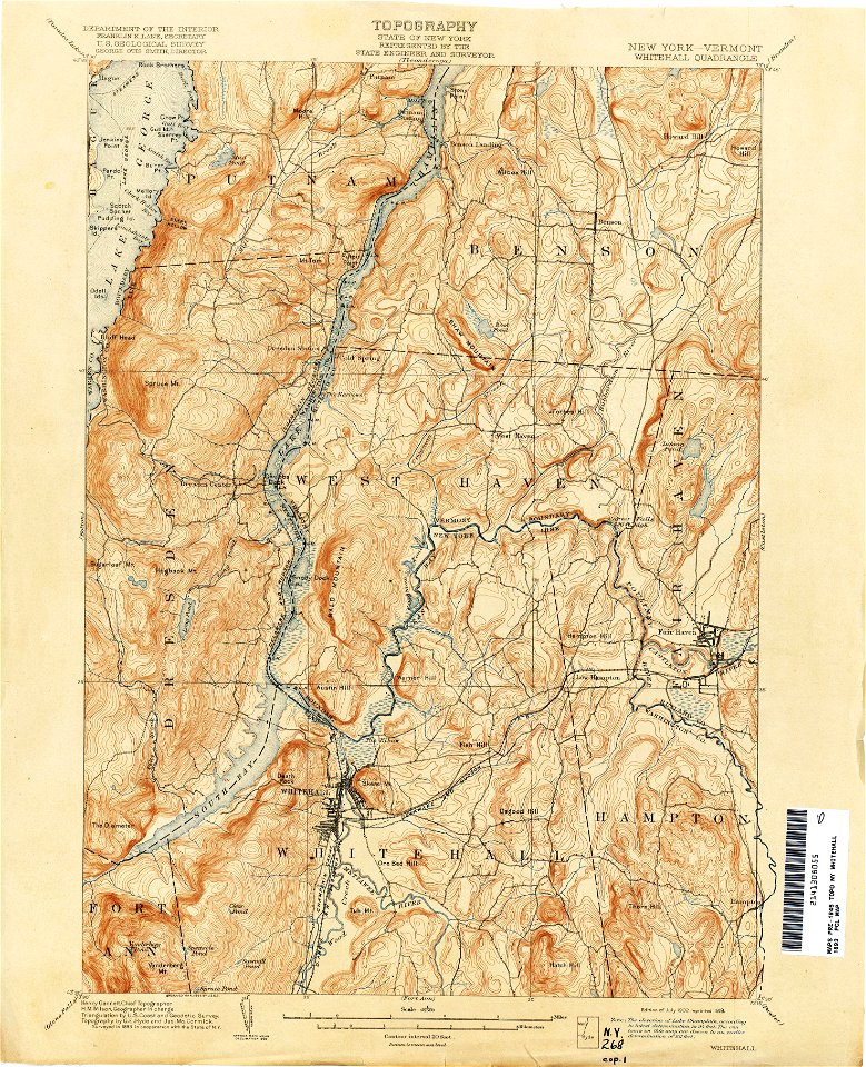
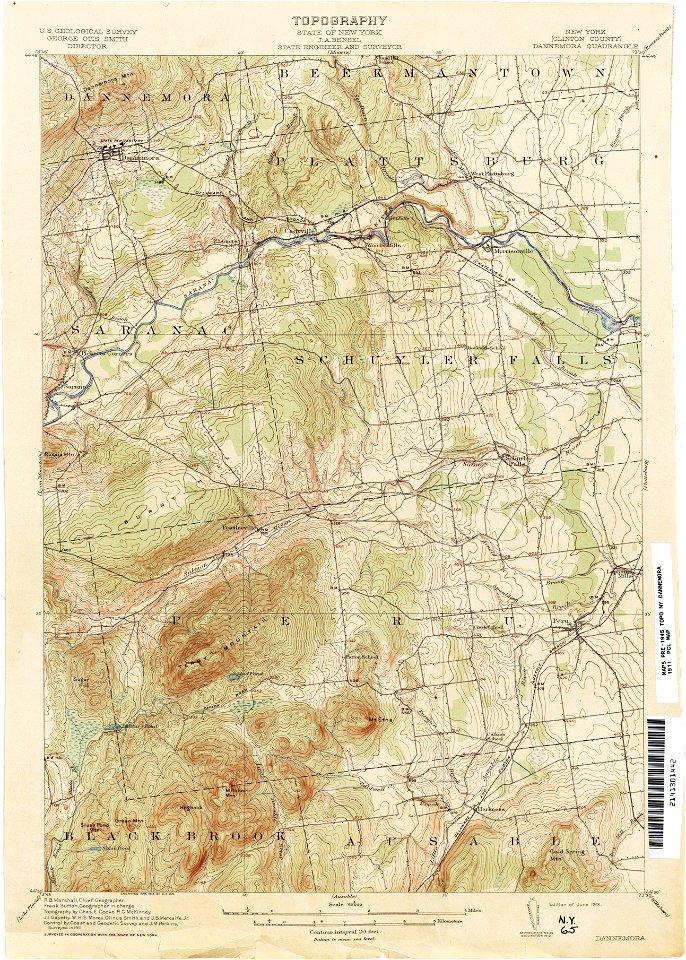
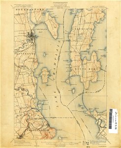
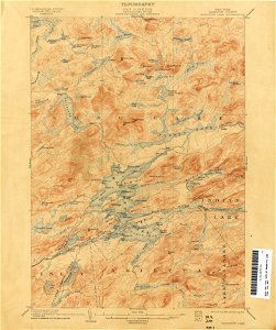
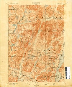
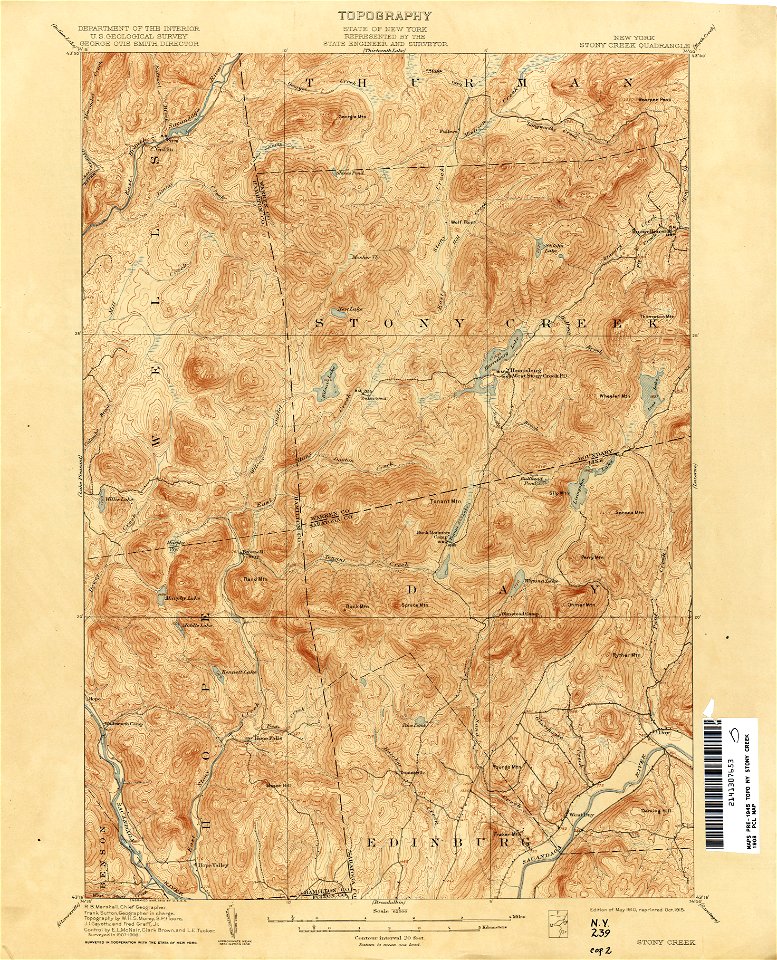
united states geological survey maps
old maps of new york (state)
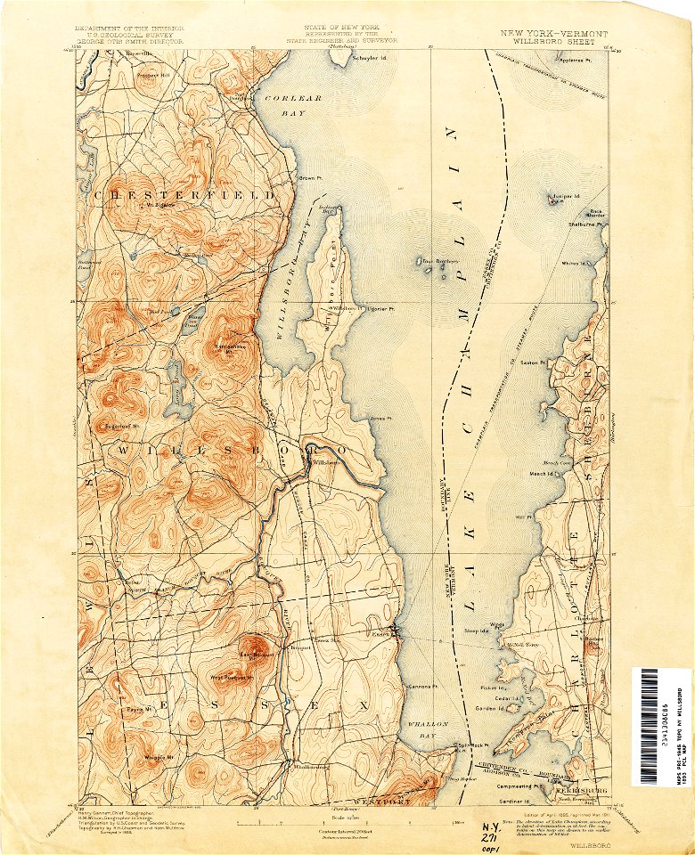
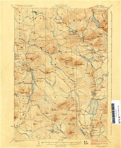
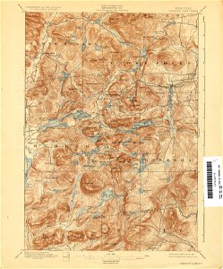
united states geological survey maps
old maps of new york (state)
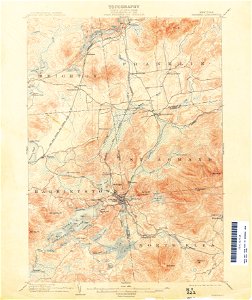
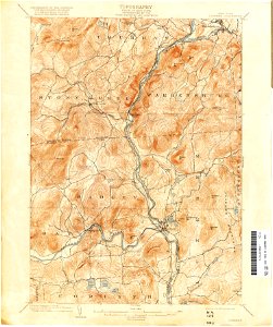
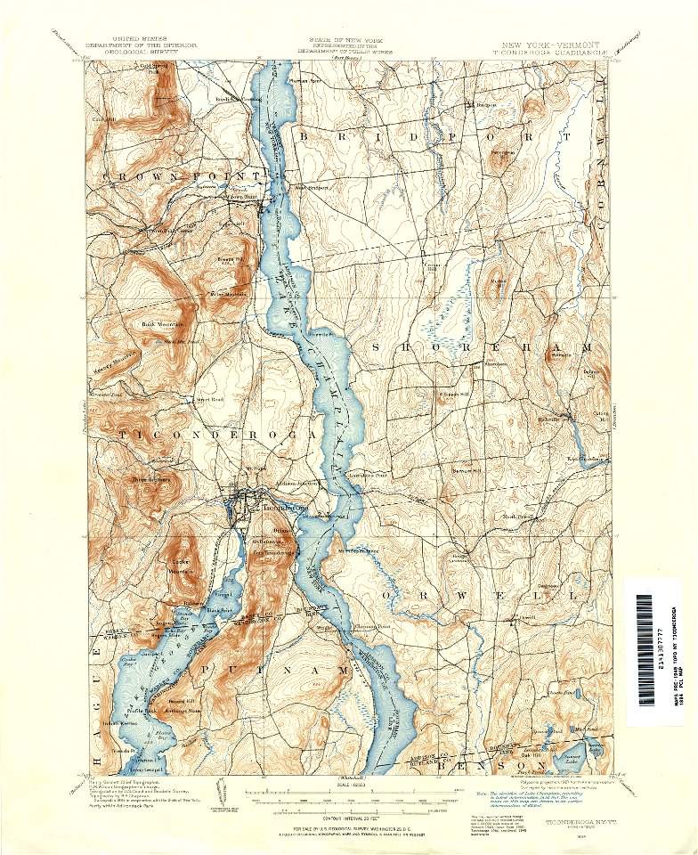
united states geological survey maps
old maps of new york (state)
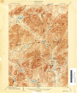
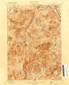
united states geological survey maps
old maps of new york (state)
maps in the library of congress
old maps of south africa
19th-century maps of the caucasus
1865 maps
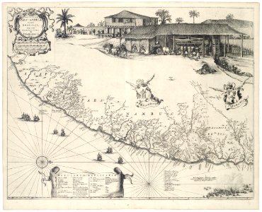
old maps of pernambuco
cornelis goliath
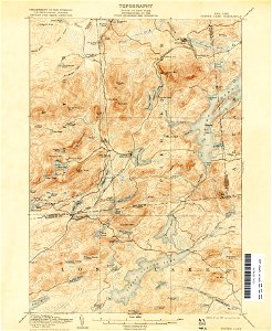
united states geological survey maps
old maps of new york (state)
united states geological survey maps
old maps of new york (state)
united states geological survey maps
old maps of new york (state)
united states geological survey maps
old maps of new york (state)
united states geological survey maps
old maps of new york (state)
united states geological survey maps
old maps of new york (state)
llanbadarn fawr
ceredigion
maps in the library of congress
old maps of massachusetts
maps in the library of congress
old maps of massachusetts
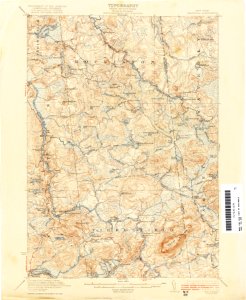
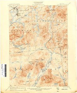
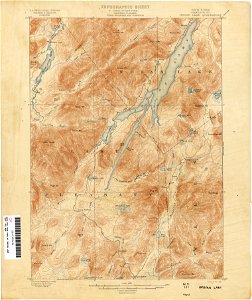
united states geological survey maps
old maps of new york (state)
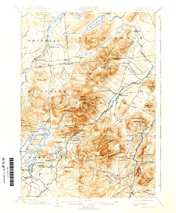
united states geological survey maps
old maps of new york (state)
united states geological survey maps
old maps of new york (state)
united states geological survey maps
old maps of new york (state)
united states geological survey maps
old maps of new york (state)
united states geological survey maps
old maps of new york (state)
united states geological survey maps
old maps of new york (state)
united states geological survey maps
old maps of new york (state)
united states geological survey maps
old maps of new york (state)
united states geological survey maps
old maps of new york (state)
united states geological survey maps
old maps of new york (state)
maps in the library of congress
old maps of south africa
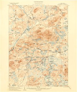
united states geological survey maps
old maps of new york (state)
united states geological survey maps
old maps of new york (state)
united states geological survey maps
old maps of new york (state)
united states geological survey maps
old maps of new york (state)
old maps of the province of bergamo
maps by antonio zatta
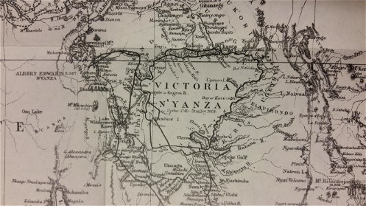
through the dark continent
lake victoria
old maps of mexico
pictorial maps
indian territory
franklin pierce
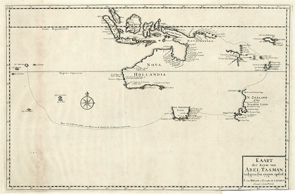
abel tasman
1724 maps
maps in the stadsarchief amsterdam
hendrik de leth
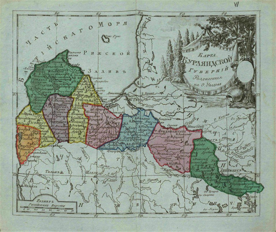
small atlas of the russian empire (1796)
old maps of courland governorate
description des principales villes (1690)
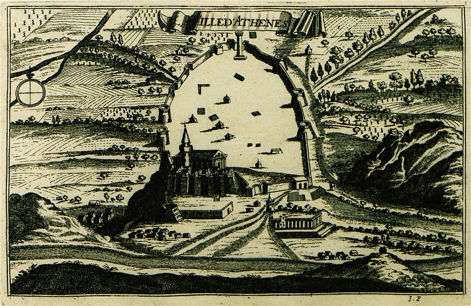
old maps of athens
vatican gallery of maps
old maps of italy
university of toronto wenceslas hollar digital collection
maps by wenzel hollar
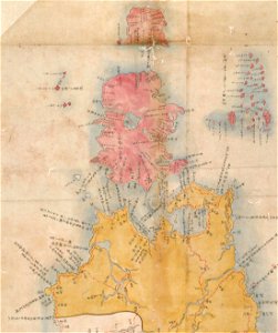
maps of the kuril islands
shōhō kuniezu
maps in the stadsarchief amsterdam
oosterdok
atlante veneto (raremaps.com) volume 2
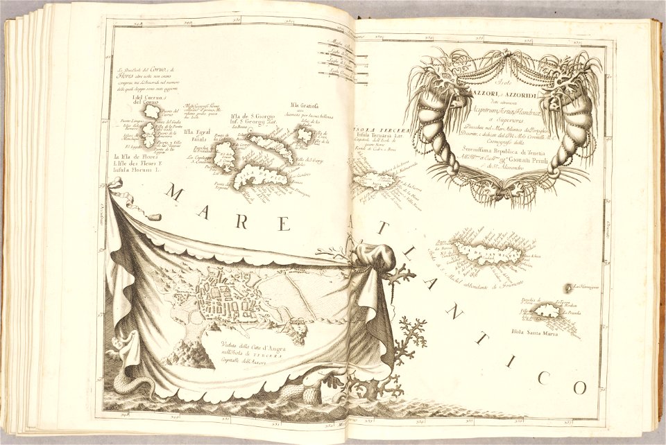
old maps of the azores
ports and harbours of the polish-lithuanian commonwealth
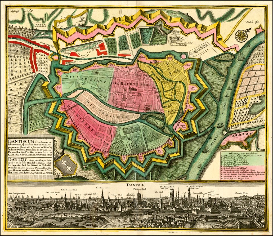
old maps of gdańsk
atlas de wit 1698
frederick de wit
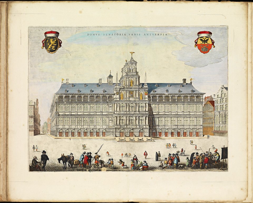
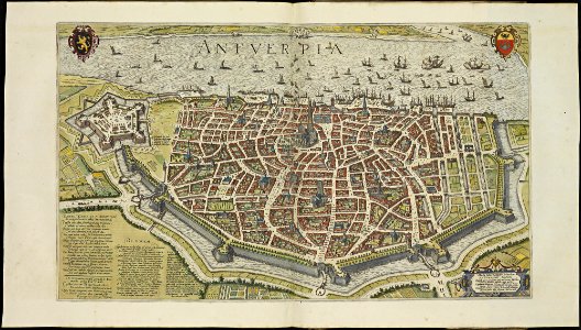
maps of antwerp city walls
frederick de wit
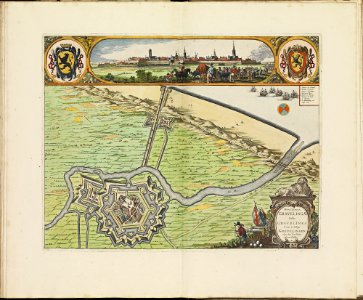
maps of gravelines city wall
frederick de wit
old maps of papua new guinea
maps of german new guinea
old maps of scandinavia
johannes ratelband
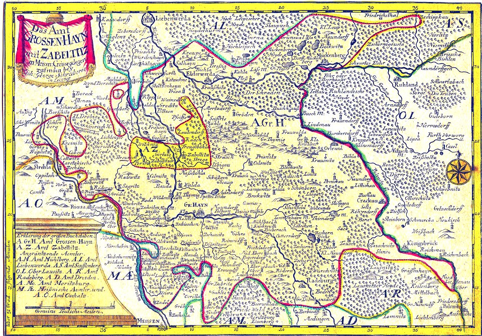
history of lorenzkirch
old maps of saxony
maps by willem and johannes blaeu
copper engraving
maps of antwerp city walls
frederick de wit
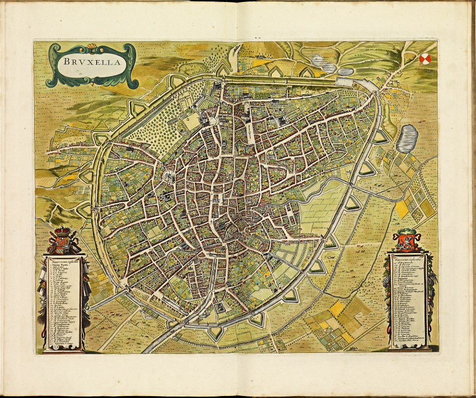
old maps of brussels
frederick de wit
atlas de wit 1698
frederick de wit
bibliothèque municipale de reims
rès. g 152
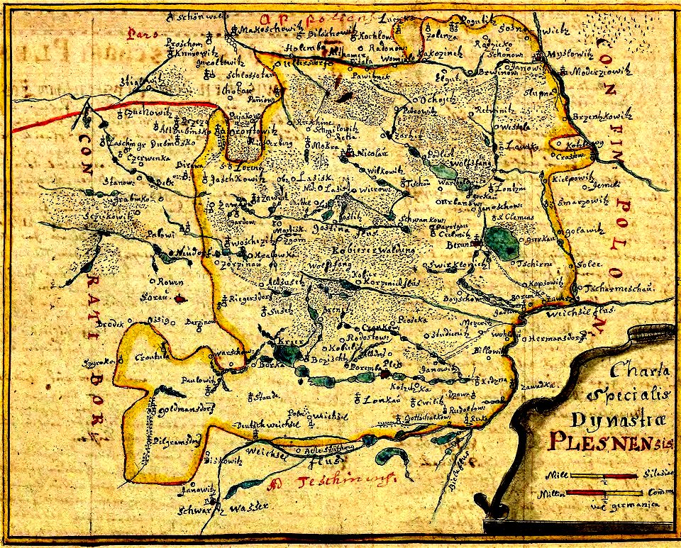
history of pszczyna
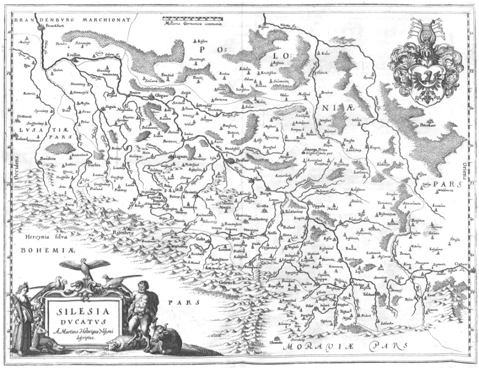
old maps of silesia
engravings of topographia bohemiae moraviae et silesiae
old maps of silesia
old maps of north rhine-westphalia
coats of arms on maps
files from the bodleian libraries
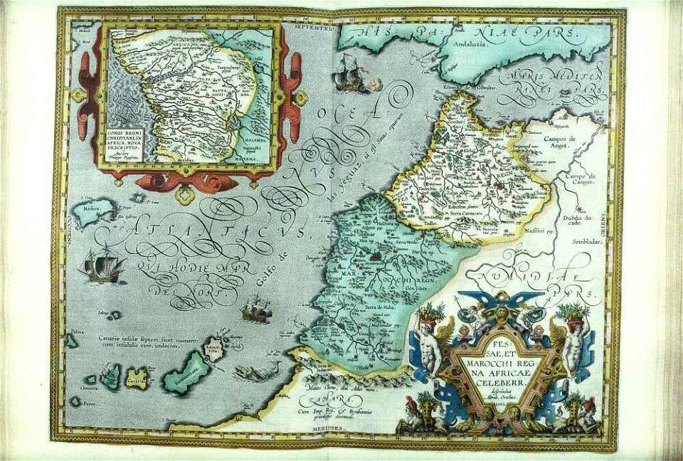
old maps of africa
fonds ancely - bibliothèque municipale de toulouse - maps
gustave bascle de lagrèze
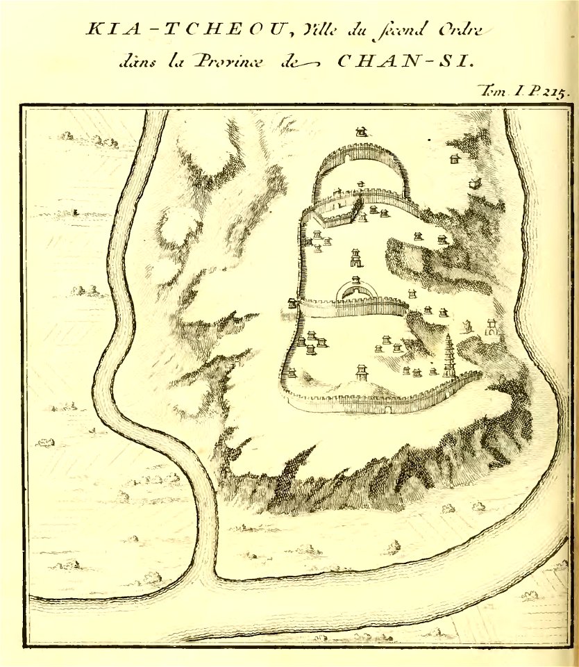
french-language maps of china
shaanxi
maps made in the 17th century
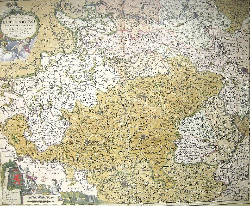
old maps of luxembourg
fonds ancely - bibliothèque municipale de toulouse - maps
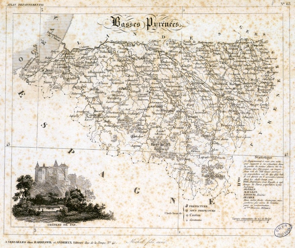
historical images of pau
windmills in art
bridge of arts
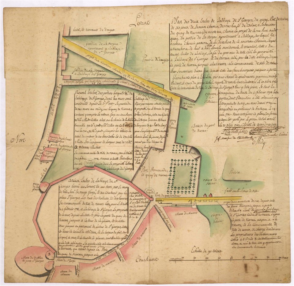
old maps of rennes
1780 maps
bibliothèque municipale de reims
rès. g 152
old maps of regions of france
baldwin iii
pictorial maps
thüringiae
maps by willem and johannes blaeu
atlas van loon
small atlas of the russian empire (1792)
maps of yaroslavl governorate
small atlas of the russian empire (1792)
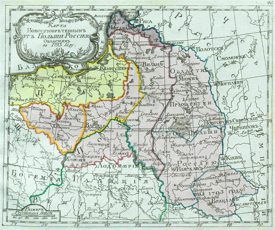
old maps of partitioned poland
small atlas of the russian empire (1792)
old maps of olonets governorate
small atlas of the russian empire (1792)
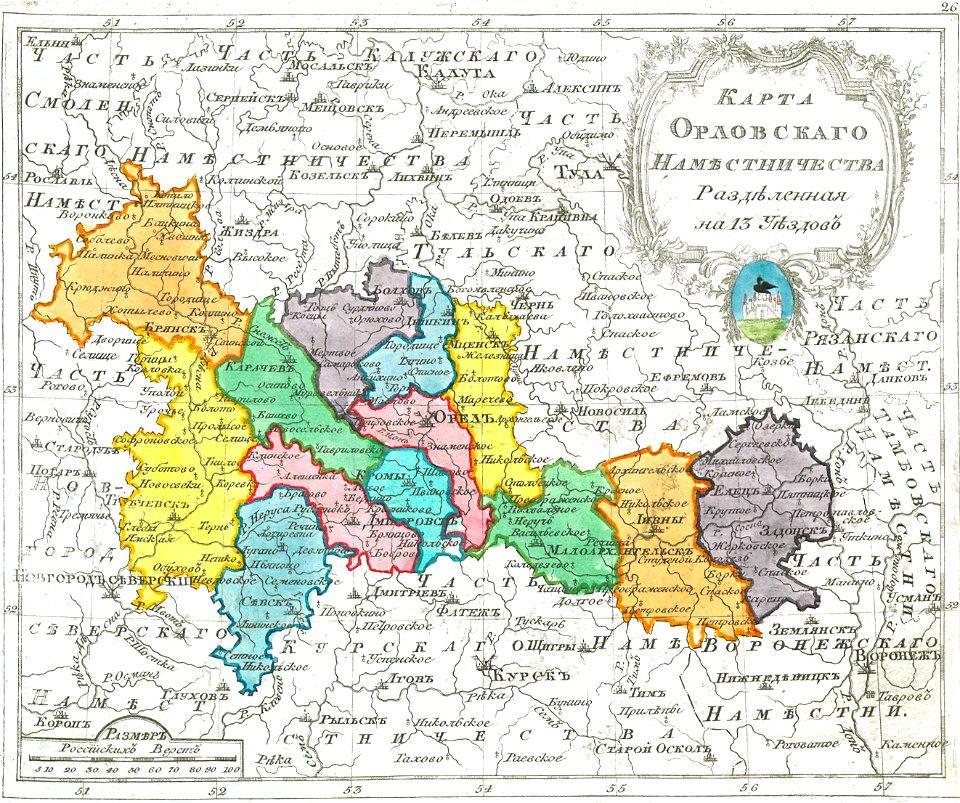
maps of oryol governorate
2701 - 2800 of 52,119
Next page
/ 522